Newly released images from NASA show how drastically decades of drought in the American West have caused water levels in crucial Lake Mead to decline, threatening water access for tens of millions of people and millions of acres of farmland.
NASA Earth Observatory released satellite images of the reservoir, part of the Colorado River watershed, taken in early July 2000, 2021, and 2022.
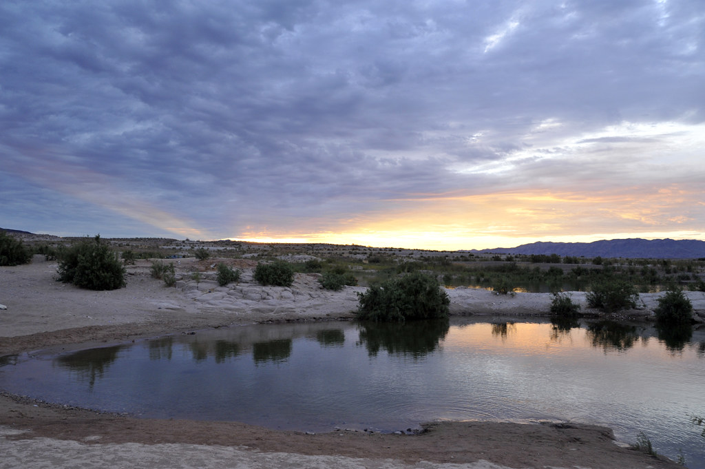
The most recent image, taken on July 3, shows a so-called “bathtub ring” around the shoreline of the lake—mineralized areas which were formerly underwater.
The Overton Arm section of the reservoir has lost considerable water since 2000, while the northern portion of Lake Mead appears significantly dried-out, even compared to one year ago.
https://twitter.com/latimes/status/1550194979443683328
The images are “a stark illustration of climate change and a long-term drought that may be the worst in the U.S. west in 12 centuries,” Michael Carlowicz, managing editor of NASA Earth Observatory, told The Guardian.
The lake supplies water to about 25 million people in the West, across seven states, tribal lands, and northern Mexico.
With Lake Mead now filled to only 27% capacity, hydropower turbine operations in the region are at risk and the federal government is calling on people to drastically cut down on water use.
The lake’s low levels have been driven by persistent drought conditions, as most of the water in the Colorado River watershed comes from snowmelt in the Rocky Mountains. The snowpack from last winter is at below average levels in many areas, NASA Earth Observatory reported.
Precipitation and groundwater levels—which provide about 10% of Lake Mead’s water—have also been chronically low.
Water law professor Rhett Larson of Arizona State University told The Guardian that Americans should change their understanding of the persistently dry climate in the West over the last 20 years.
“This is not a drought, this is aridification,” he said. “This is not something we can wait out. This is not something we can survive. This is the new world we live in.”
Lake Mead has only approached full capacity twice, in the summers of 1983 and 1999. Its current level is the lowest since it was first filled in 1937.
At maximum capacity, the reservoir would reach an elevation of 1,220 feet and would hold 9.3 trillion gallons of water.
In July 2000, the lake’s elevation was over 1,199 feet, while it is currently at 1,041 feet, according to NASA.
“Lake levels at the dam should stay above 1,000 feet to continue operating hydropower turbines at normal levels,” the Earth Observatory said.
The photos were released as climate campaigners and Democratic lawmakers have called on President Joe Biden to declare a climate emergency—a step that would enable him to halt exports of crude oil, restrict international trade and investments in fossil fuels, ramp up domestic manufacturing for clean energy and transportation, and stop oil and gas drilling in the outer continental shelf, among other measures.
Biden angered advocates this week when he announced some new climate actions but stopped short of declaring an emergency.
Along with the arid conditions in the West, extreme heat advisories were in effect in 28 states this week.